Integrating cutting-edge technologies into humanitarian efforts: maximising impact
Incorporating technological advancements into humanitarian endeavours by facilitating easier data access and supporting data availability allows us to assist numerous projects in translating data into tangible results.
How many children …?
To enhance the accessibility of UNICEF’s data and remove the barrier of technical knowledge for querying a database, FDN developed the ‘How Many’ tool, which provides data-driven responses to user questions.

Climate Crisis evolving into a child’s rights crisis
To address the severe impact of the climate crisis on children worldwide, FDN collaborated with UNICEF’s Office of Emergency Programmes (EMPOS), TUFTS University, partners in Cambodia, USAID’s Bureau for Humanitarian Assistance (BHA), and several universities. Together, we developed the Children Climate Risk Index (CCRI), which considers not only various natural and human-made hazards but also the vulnerability of children in numerous areas, amplifying their impact. This index helps us understand the urgency of the situation for children in countries and aids in planning and finding solutions to mitigate those threats.
Reaching the unreached
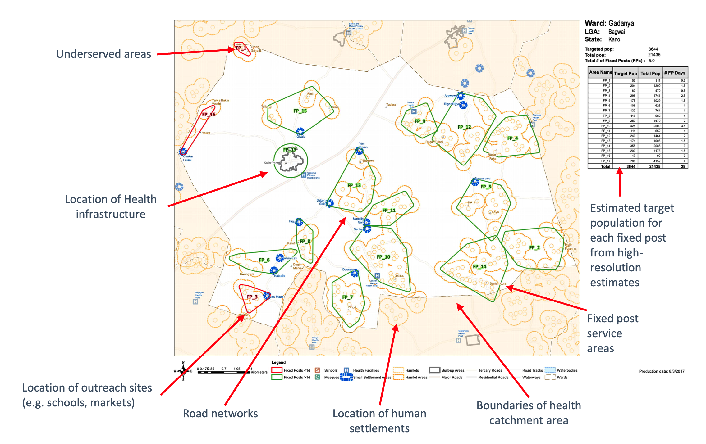
Insufficient birth registration services leave 6 out of 8 million children in West and Central Africa without life-saving vaccines in their first year, known as ‘zero-dose children’. Collaborating with technical and academic partners from the University of Southampton, CartONG, and MapAction, the Frontier Data Network utilises frontier data technologies, data science models and satellite imagery to create supporting datasets for reaching unreached children with life-saving vaccines.
Debunking misinformation
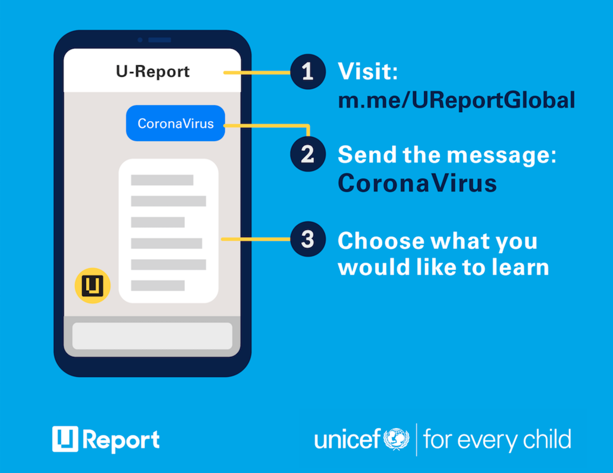
To counter the flood of misinformation about COVID-19, FDN collaborated with U-Report, Alana AI and the Data for Children Collaborative to develop a chatbot. This chatbot provided critical information and responded to, as well as debunked, rumors submitted by over 3.5 million users in over 50 countries.
Rapid response to emergencies and crises: data technology to deliver aid swiftly and efficiently
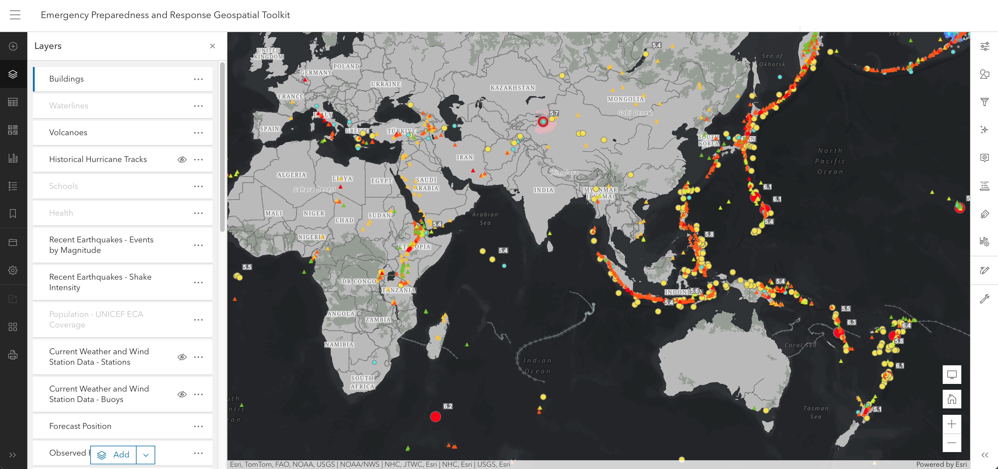
Utilising new approaches such as geospatial analysis, remote sensing data, and mobility analysis enables us to support rapid responses to various crises caused by conflicts and climate change-related hazards.
Ukraine
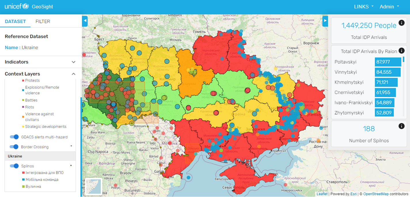
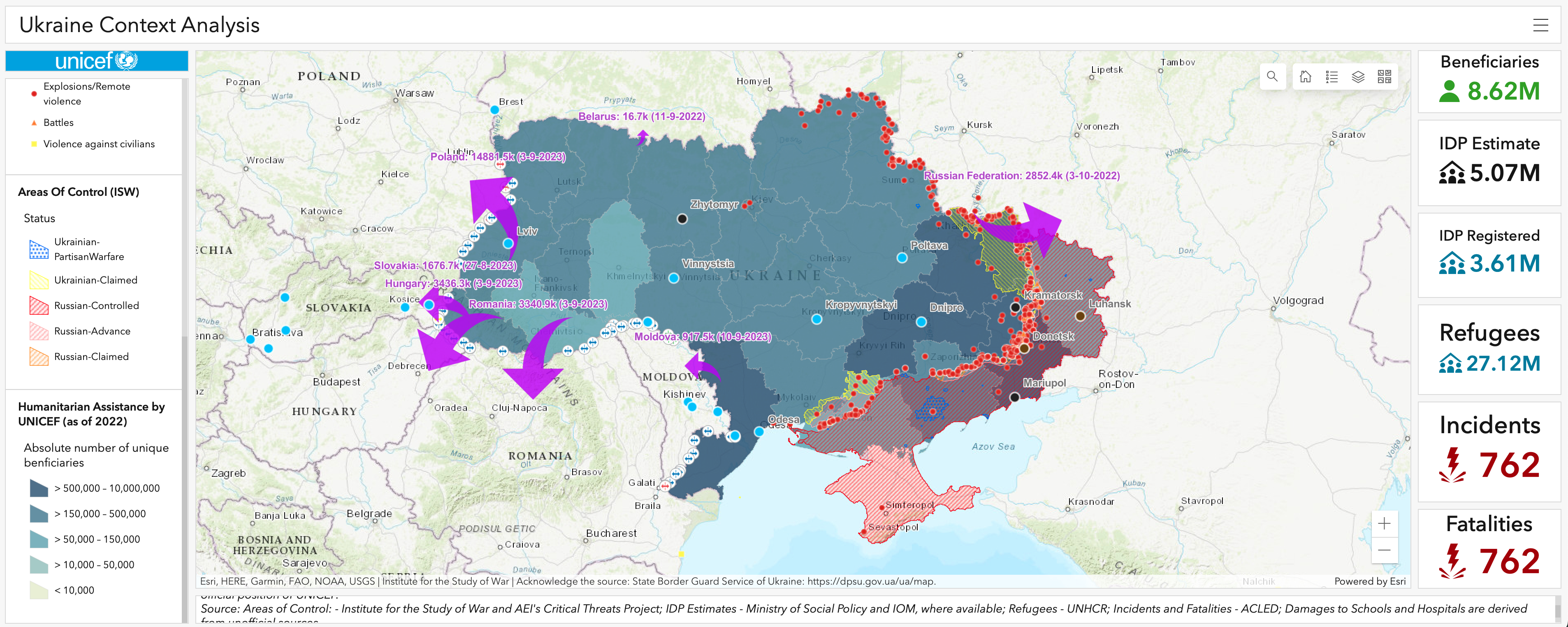
FDN’s geospatial system has become core to UNICEF’s response in Ukraine, providing near real-time data and crucial location-based information for planning assessments, interventions and situational context to partners such as UNOCC, UNOCHA and UNHCR, facilitating targeted humanitarian support where it is needed most.
Gaza
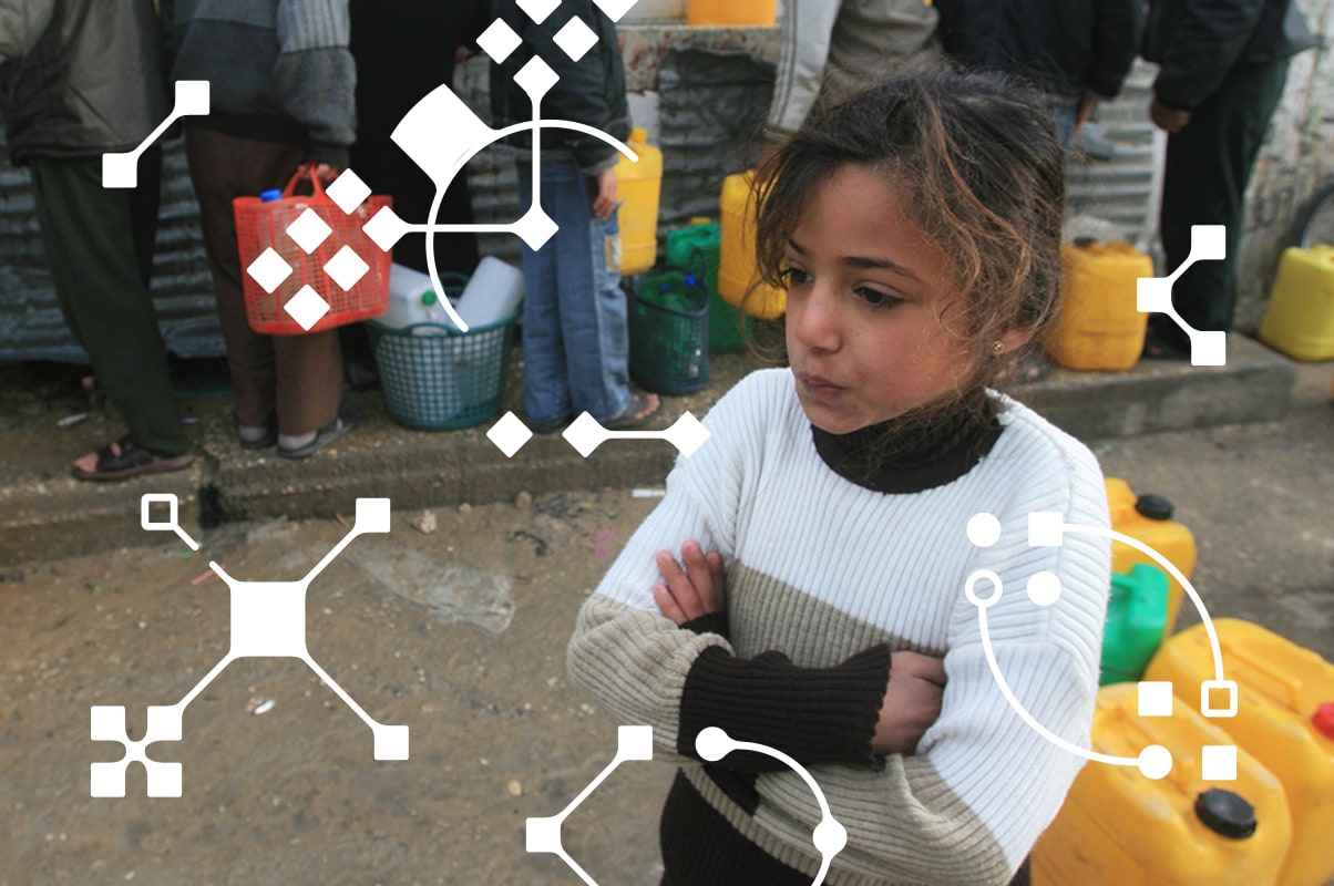
Drawing from experience in the Ukraine response, the Frontier Data Network was able to deliver even faster support in Gaza, collaborating closely with the UNICEF Palestine Country Office, OCHA and UNWRA. This involved assessing critical infrastructure damage, monitoring internal displacement dynamics as well as collecting data on areas of control, refugee camps and partner locations for delivering life-saving supplies.
Frontier data for emergencies
In response to the challenges posed by unreliable data collection during emergencies, FDN leveraged new sources and approaches to obtain the most updated estimations for damage assessment and population displacement. Collaborating with scientists from leading universities, FDN utilised social media advertising data from Meta, satellite imagery from UNOSAT and mobility data to provide near real-time data on population displacement, enabling targeted humanitarian responses in Ukraine.
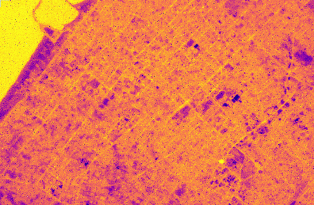
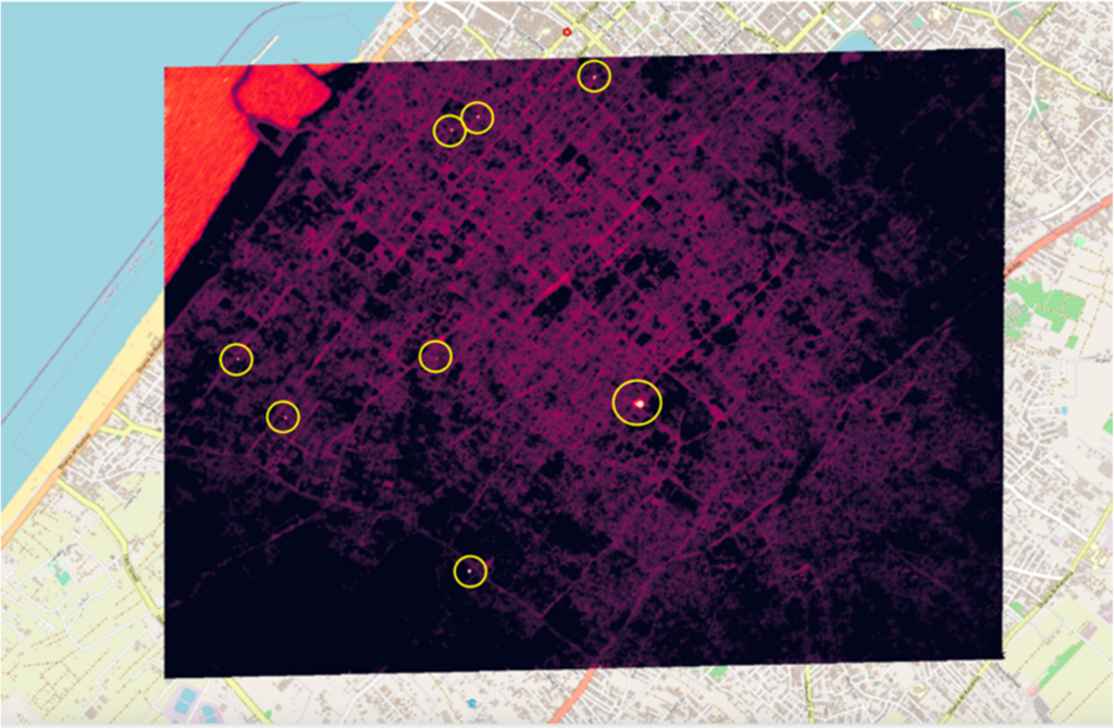
While successful in Ukraine, connectivity drops and blackouts in Gaza rendered the use of mobility data unfeasible. To address this challenge and provide updated data without risking personnel safety, FDN explored the use of high-resolution satellite imagery from Maxar and Planet. This, combined with geospatial expertise, allowed for the assessment of critical infrastructure damage, such as schools and WASH (Water Sanitation and Hygiene) facilities, although it did not provide information on the status of undestroyed infrastructure. In an attempt to address this gap, FDN investigated thermal-infrared satellite imagery from Satellite Vu but encountered setbacks due to the technology’s cutting-edge nature and the failure of Satellite Vu’s satellite.
Unlocking data frontiers: expanding accessibility and availability
Actively driving digital transformation through open-source, easy-to-use platforms and by establishing organization-wide access to state-of-the-art software.
Open data, easily accessible to everyone
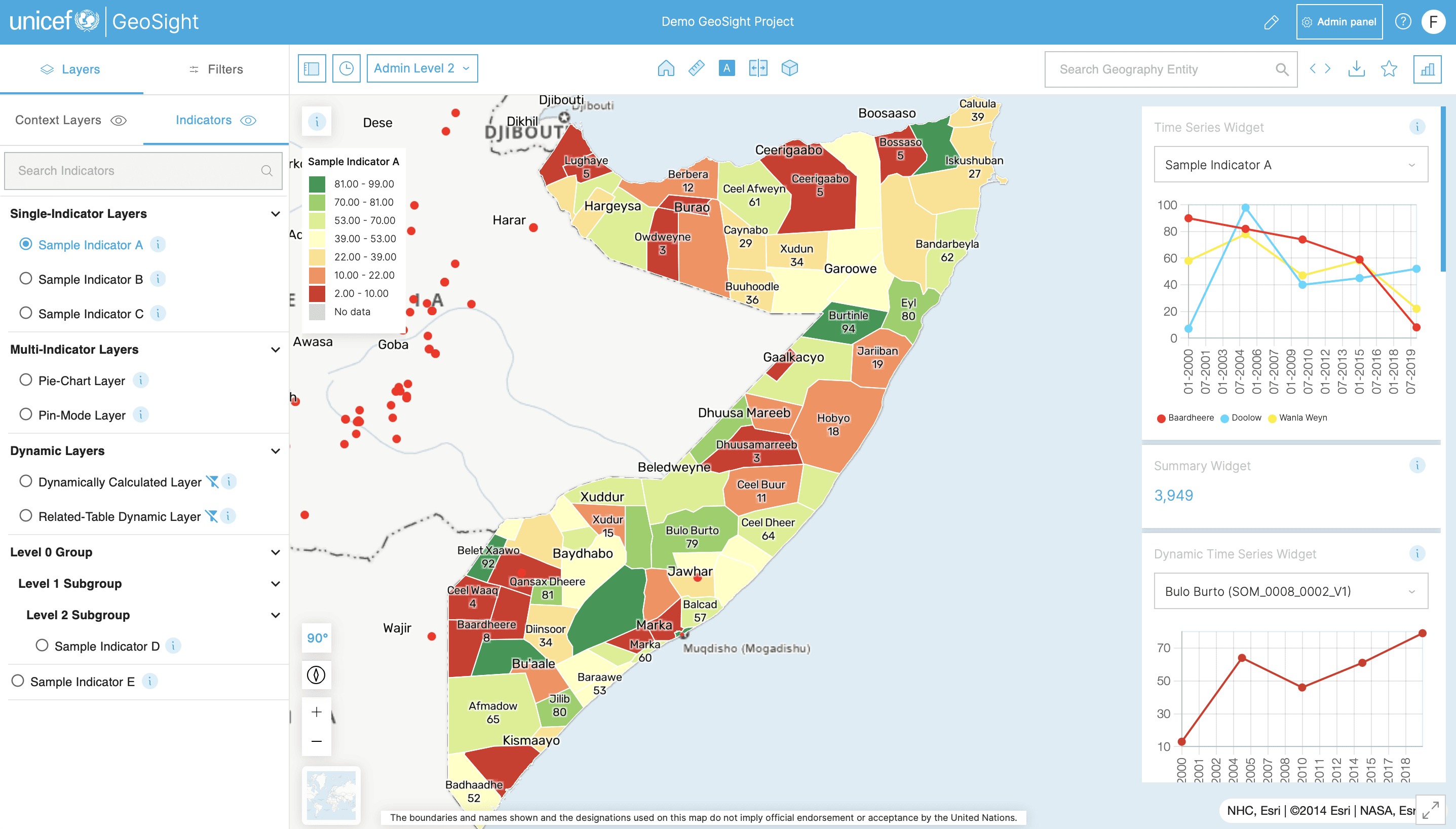
Implementing the SDMX standard (Standard for Data and Metadata eXchange), which is utilised by multiple international organisations, ensures that FDN open data are even more accessible. With over 3 million users, the Indicator Data Warehouse provides easily available data for the public, meeting various data needs such as monitoring progress towards the UN’s Sustainable Development Goals concerning children. Additionally, it provides data for tools like the ‘How Many’ tool, the Climate-Change-Risk-Index (CCRI) and indicators on GeoSight.
Joining forces to facilitate data partnerships for the public good
By joining the Development Data Partnership, FDN collaborates with international organisations and private sector technology companies to promote responsive use of third-party data in international development, streamlining access to data from various partners.
Building bridges: capacity-building initiatives to foster resilience and self-sufficiency
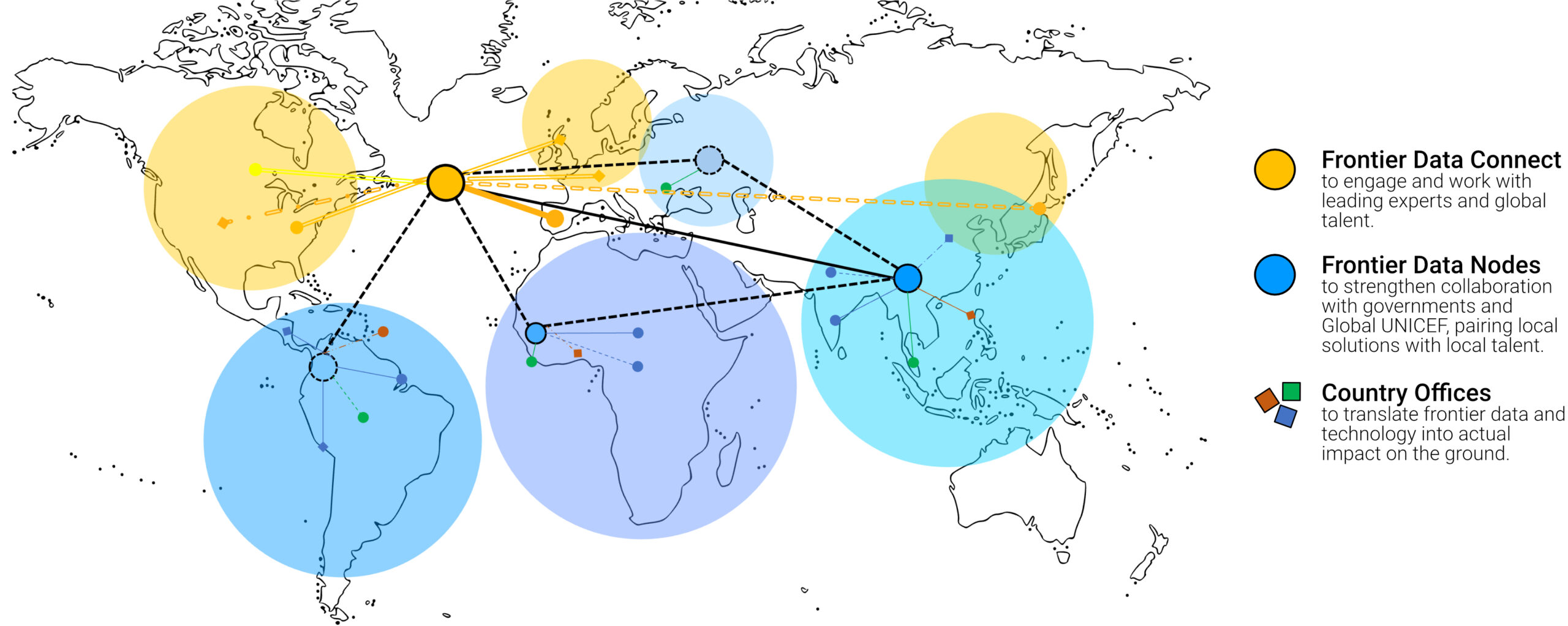
Building a global community of practice – the Frontier Data Network promotes the skills and talent necessary to integrate technological advancements into humanitarian efforts.
